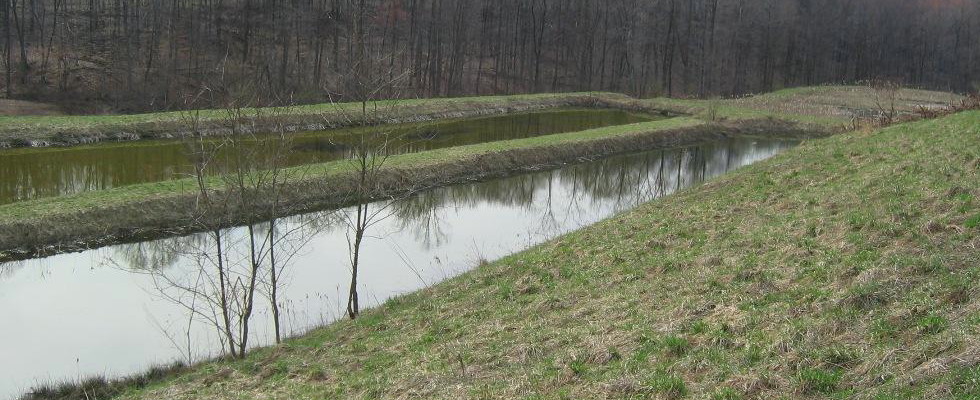
The Laurel Run Treatment System #1 was originally designed to treat 100 gallons per minute of acidic mine drainage, flowing from an abandoned Upper Freeport seam underground mine in the headwaters of Laurel Run. The passive treatment system initially consisted of two vertical flow ponds built in parallel and a 1/2 acre polishing wetland. This system was constructed by Stream Restoration, Inc. in 2001 and was funded by Foundation for PA Watersheds, NRCS and PA DEP Growing Greener grant. The discharge points for the water changed over time. That, and the age of the system, necessitated a re-build, which took place in 2024. The rebuilt system consists of a Terraced Iron Formation (TIF), 3 Jennings-style mixed media vertical flow ponds (VFPS) and an aerobic wetland. The TIF allows for some iron removal through oxidation, while the VFPs operate in parallel and impart alkalinity to the discharge while also removing metals from it. The aerobic wetland provides time and space for additional settling of metals before the discharge enters the stream. Funds for the rebuild were provided by a Pennsylvania DEP Growing Greener grant, an OSMRE WCAP grant, and a grant from the Foundation for Pennsylvania Watersheds. The rebuilt system was designed by BioMost, Inc. and was constructed by Joseph C. Puryear Trucking & Excavating, Inc.
A fact sheet regarding the rebuild prepared by Stream Restoration Inc. may be viewed here: https://blacklickcreekwatershed.org/wp-content/uploads/2025/09/502-lr1-one-page-summary.pdf.
A detailed report about the rebuilt system may be viewed here: https://blacklickcreekwatershed.org/wp-content/uploads/2025/09/502-lr1-final-report-sept-2025.pdf
The Laurel Run Treatment System #1 is located in Center Township, Indiana County. Quarterly water quality samples are collected from the system. Reports, maps, photos, and water sampling results have been posted on the Datashed website at https://www.datashed.org/project-laurel-run-1.
-
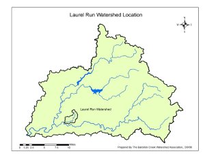
- Laurel Run Watershed Location Map

