Laurel Run Treatment System #2 is constructed to treat the second of two discharges in the headwaters of Laurel Run. Construction of the system eliminated a hazardous highwall 60 feet high and 290 feet long. The treatment system is designed to include two parallel vertical flow reactors (VFR), a settling pond, and a wetland. The mine discharge flows directly from the sealed mine entrance through a buried pipe and is split into two parallel VFRs. Water percolates through the reactors and into a settling pond. Here, most of the iron and aluminum precipitate settle out. From the settling pond, the water flows through a polishing wetland constructed in a segmented serpentine fashion. A layer of compost was placed on the bottom and is planted with wetland vegetation. Additional suspended iron and aluminum are removed. This system was constructed in 2005. It was funded with Title IV, Appalachian Clean Streams initiative and is located in Center Township, Indiana County. Quarterly water quality samples are collected from the system. All passive treatment systems eventually need rehabilitated due to the accumulation of trapped pollutants over the years. Water monitoring data show that the Laurel Run #2 system is nearing the end of its useful lifespan and is in need of rebuild. Reports, maps, photos, and water sampling results have been posted on the Datashed web site at https://www.datashed.org/project-laurel-run-2.
-
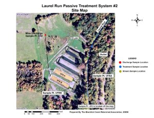
- Laurel Run #2 System Site
-
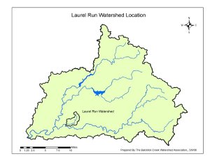
- Laurel Run Watershed Location Map

-
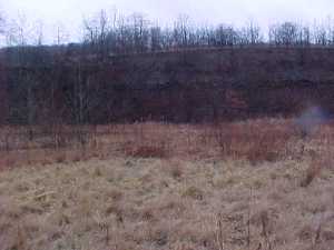
- Laurel Run #2 Highwall Remediated

-
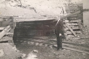
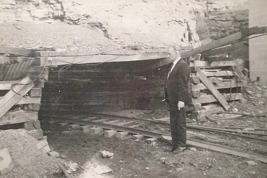
- Historical Photo of Mine Owner